GIS & Mapping
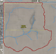
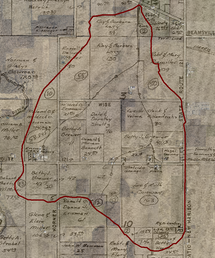
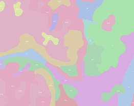
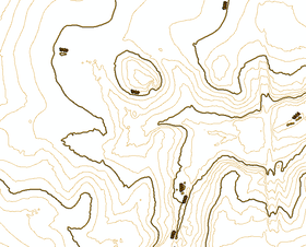
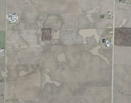
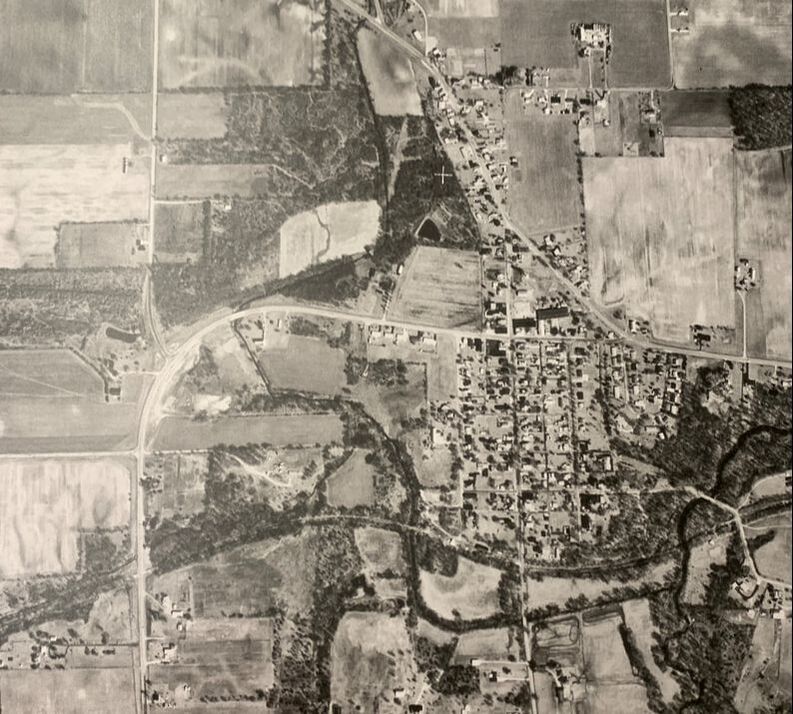
Darke SWCD technicians can provide a variety of maps that assist landowners in conservation and drainage planning.
Below are a few examples of the data that we can provide.
Below are a few examples of the data that we can provide.

